Engineering and Surveying consultants save time and costs using aerial drone to capture aerial topographic surveys
Engineering and Surveying consultants save time and costs using aerial drone to capture aerial topographic surveys
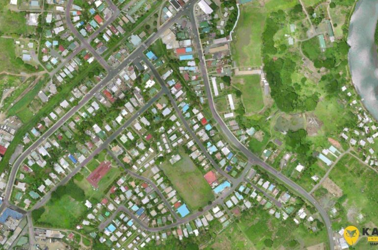
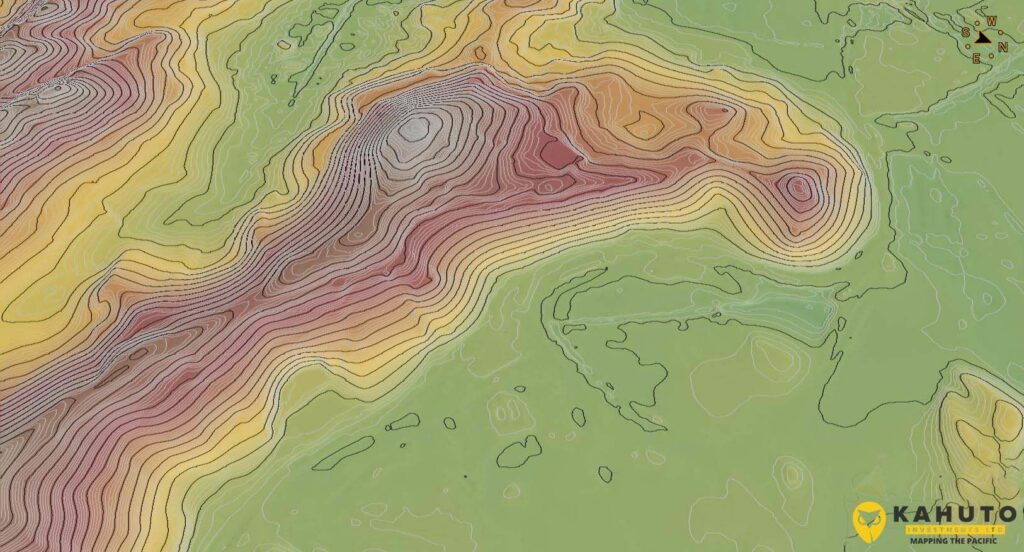
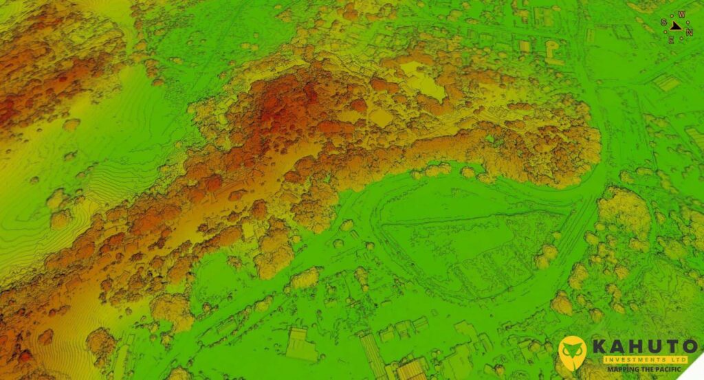
In 2020, Fijian based engineering consultancy SCoPE Pacific Ltd needed an accurate and cost effective solution to capture a large topographic survey for the Labasa Bypass design and flood study.
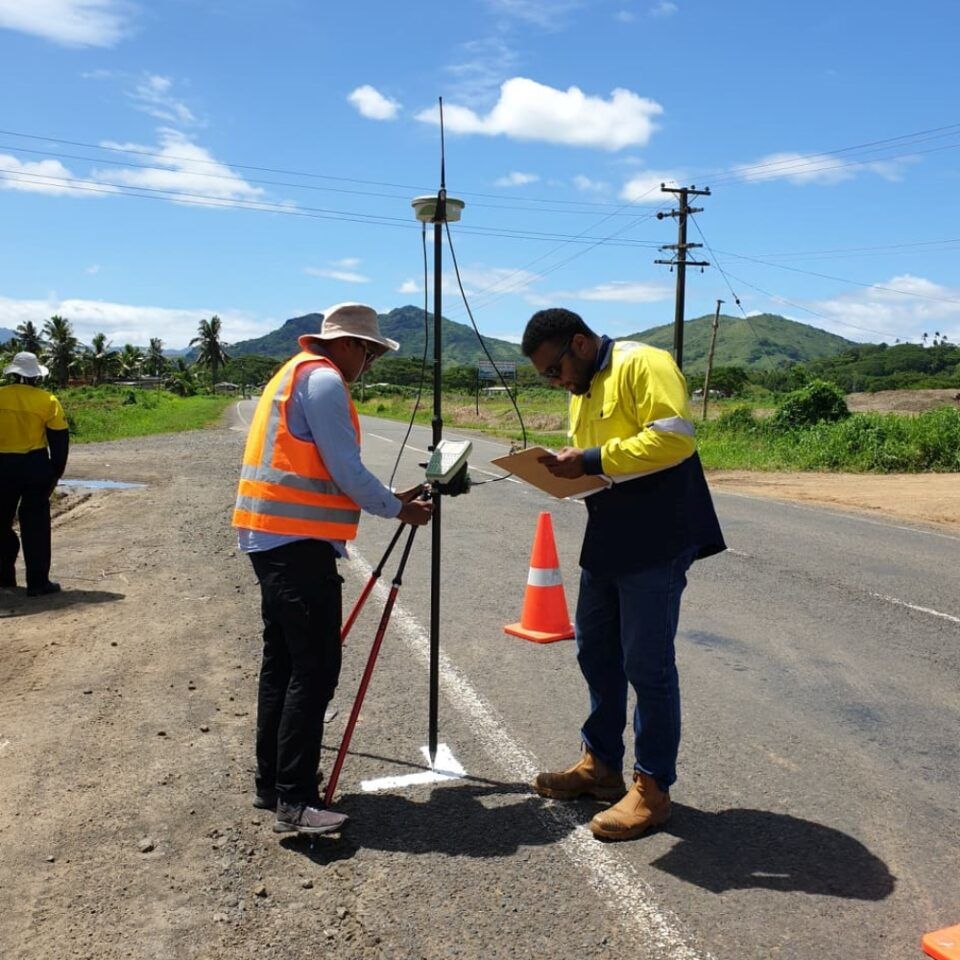
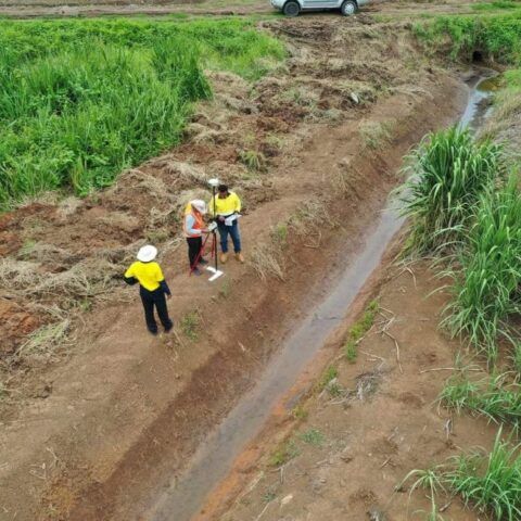
We delivered the 700 Hectare aerial survey within 5 weeks. We used a senseFly Ebee Plus to capture the aerial photographs and processed the data in AgiSoft Metashape. Local Registered Surveyors, Wood & Jepsen Consultants conducted the GNSS/RTK ground control survey.
GNSS/RTK ground control survey by Kahuto Pacific
Scope Pacific were very pleased with the digital engineering solutions Kahuto were able to provide on top of the significant time and cost savings.
Time and cost savings are the leading benefits of using aerial drones to capture aerial topographic surveys.
Easily locally completed Aerial topographic surveys
Visit the topographic surveys page to learn more about the visual and spatial solutions we are delivering to Surveying and Engineering Consultants across the Pacific Islands.