Aerial LiDAR Surveys
September 12, 2022 2024-01-24 20:37Aerial LiDAR Surveys

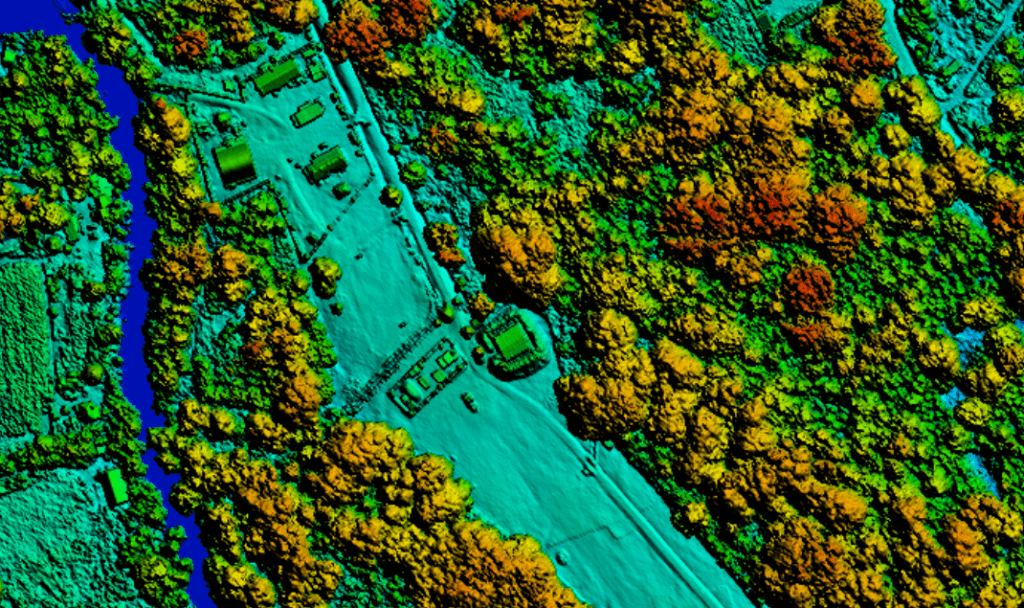
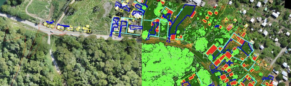
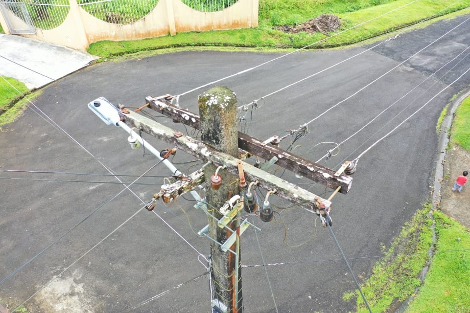
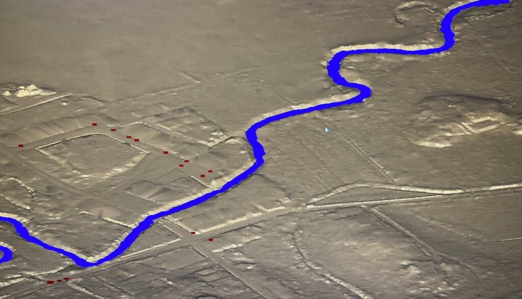
Aerial LiDAR Survey

We are very pleased to be working with Kahuto. They've provided us with quick, cost-effective solutions on a wide range of projects, both in Fiji and across the region. Kahuto tailors solutions to suit the project requirements - whether it be providing continuous video capture for traffic flow in a busy town area or quickly processing large areas of topographical survey data, meeting tight time frames. The team are a pleasure to work with and Chris is always ready to assist. We recommend Kahuto without hesitation.