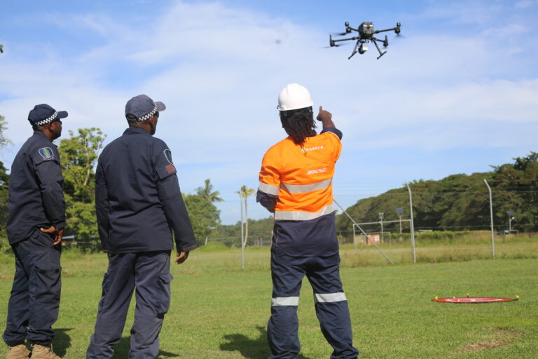
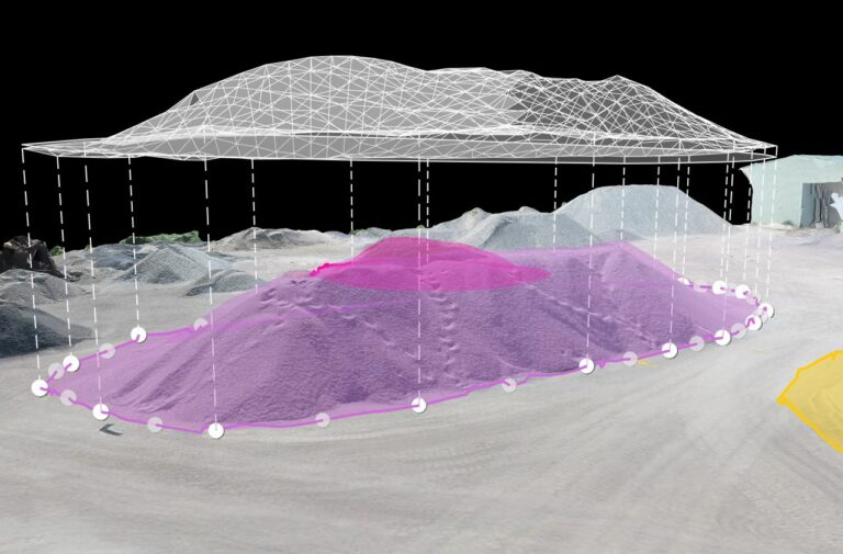
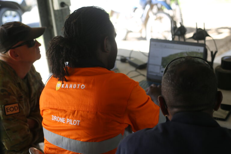
Home Connect the Physical and Digital Worlds Welcome to Kahuto Pacific Driving Decisions with data Welcome to Kahuto Pacific Capture the environment Welcome to Kahuto Pacific 01 01 Watch Kahuto Collect Data Collect Spatial & Visual Data Our team of locally based experts use the latest methods and technology to acquire precise spatial and visual data for your project requirements. Learn More survey@kahutopacific.com The Full Picture Understanding the full picture Understand the current and future state of your project environment through the power of our Aerial drone and LiDAR services. Explore More survey@kahutopacific.com The Full Picture Understanding the full picture Understand the current and future state of your project environment through the power of our Aerial drone and LiDAR services. Explore More survey@kahutopacific.com Accurate Data Act on data not assumptions Kahuto gives you the tools to make proactive, data led decisions. Don’t take unnecessary risks by using outdated, inaccurate data.Enable Proactive PlanningUnderstand potential risksOptimise Project Management Show me how survey@kahutopacific.com Drone Services Aerial LiDAR Surveys