Solutions
August 31, 2022 2023-03-14 12:43Solutions
Driving Decisions with Data
Let's Chat!Trust the Best
We are the Pacific Islands most experienced drone surveying and drone services company using world class methods and technology. Our expert team will give you an accurate picture of the built and natural environments. We tailor our services to your projects.
Our Solutions
- Aerial LiDAR and Photogrammetry Survey
- Geospatial Analysis
- Drone Services
accurate terrain modelling
Aerial LiDAR Survey
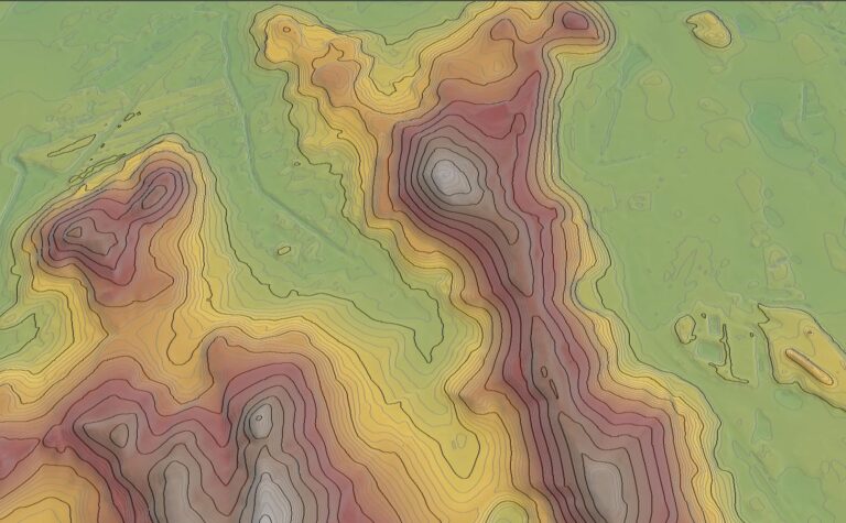
Kahuto are specialists in Aerial LiDAR Survey to help you understand site conditions better than ever before. Want an accurate terrain model of your site? We capture so you can plan.

GIS Solutions
Geospatial
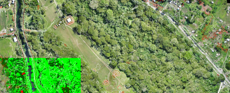
Surveying with a drone offers enormous potential to GIS professionals. Kahuto’s remote sensing technologies and advanced processing capabilities deliver the highest quality geospatial outputs across a range of sectors.

Accurate Data
Drone Services
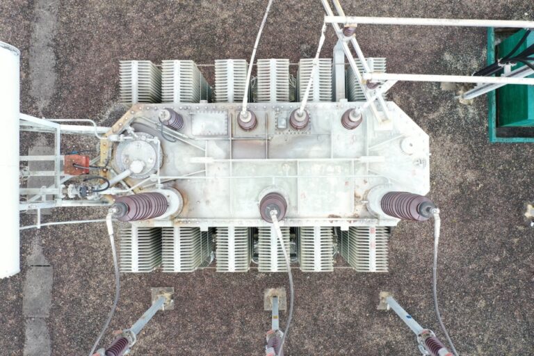
Need aerial photography or video inspections, assessments or construction progress reports? Our team of locally based experts can help.


Our Clients

Michael Whippy
Director & Registered Surveyor • Pro Survis
Nunia Thomas- Moko
Director • Nature Fiji-Mareqeti Fiji

