fbpx

Drone services replacing assumptions with facts

Spatial & visual solutions

Drone Services

Kahuto Pacific’s aerial drone services deliver the highest quality data capture solutions that enable accurate digital representations of the real world environment. 

We leverage aerial drone and photogrammetry technologies to create immersive digital survey and inspection solutions.

The Problem

Lack of actionable data – replace assumptions with facts through drone services

The success of a project has a foundation built on good data. In the Pacific Islands there is a lack of quality public available data. 

Many of the datasets that are available are often old and outdated, this includes aerial imagery, topographical maps and other GIS information that enable thorough pre development planning. 

This initial lack of data can lead consulting firms into making costly assumptions. Traditional data collection methods often require multiple technicians on the site, this can be hazardous, time intensive and costly.

The Problem

Drone Services – aerial survey, aerial videography, aerial photography

Our outcome-driven approach means we first seek to understand your project specific objectives and use case, so that we can develop the most effective and appropriate solution. 

Our unique drone service solutions have assisted a wide range of clients such as engineers needing aerial topographic survey for road design, traffic engineers needing aerial video for traffic survey and telecommunications engineers needing high resolution aerial videography and photography for cell tower inspections.       

Unique Aerial Insights

Drone Services can be applied across a multitude of uses and industries.
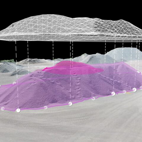
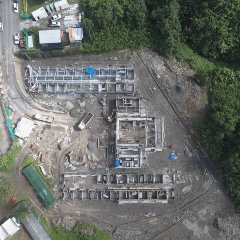
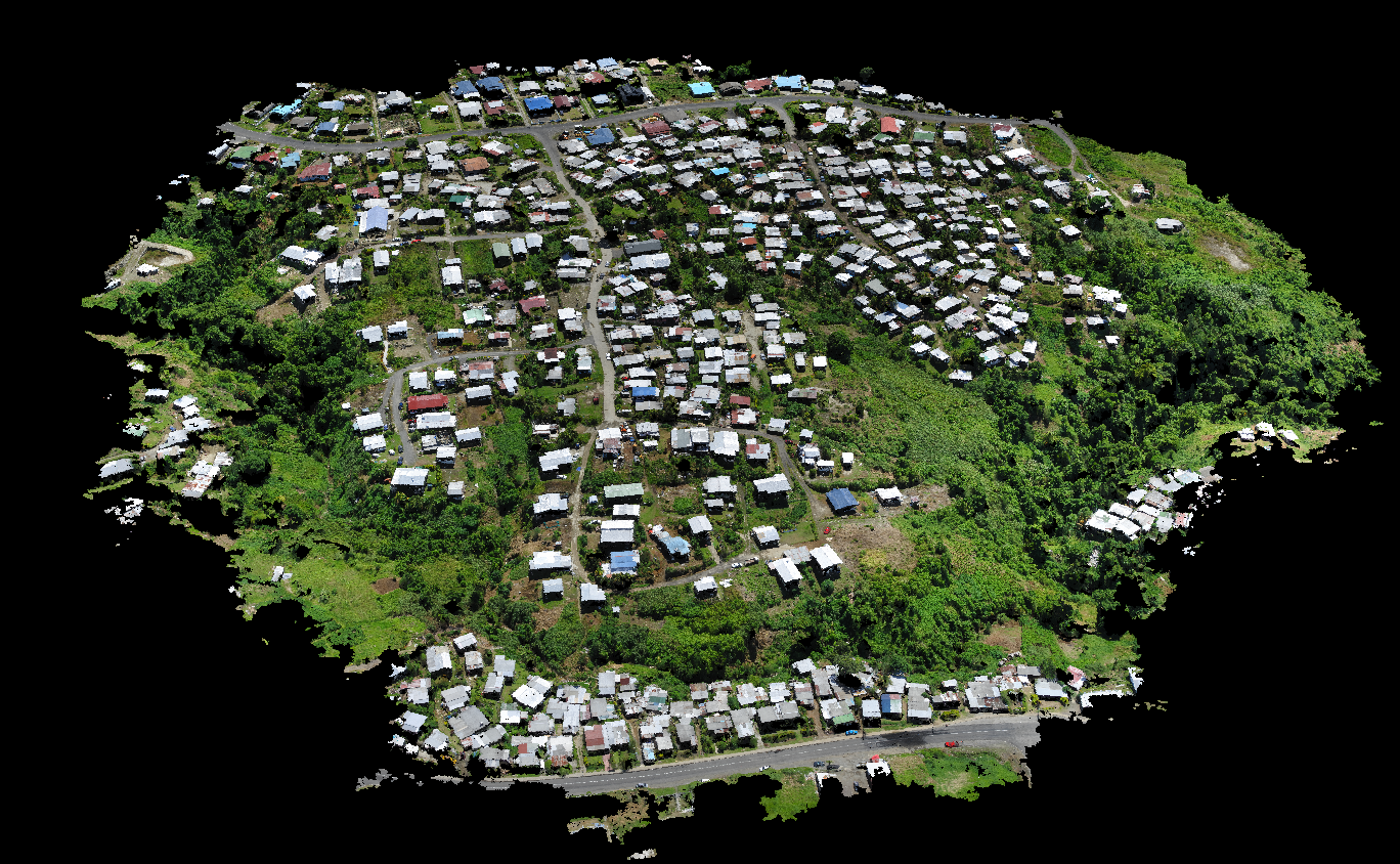
We are very pleased to be working with Kahuto since their establishment in Fiji. They have been able to provide us with quick and cost effective solutions on a wide range of projects both in Fiji and around the Pacific region. Some of these include topographical mapping for subdivisions and flat studies, as built site data information, traffic flow data capture and video coverage of various sites.
Sanjesh Deo
Managing Director & Civil Engineer, SCoPE Pacific Limited

Birds Eye Benefits

What are you trying to capture? Chances are, it's easier, faster, more effective and most accurate from the sky.

Hit The Mark

Accuracy matters in topography, planimetrics and volumetrics. Our expertise, equipment and partnerships deliver data you can count on.

Time Efficiency

Why waste your precious time wrangling logistics, crews and countries? Our smart solutions get you enhanced results in hours, not weeks.

Better Bottom Line

When you work smart, you increase your profit margin. Timely, cost-effective and detailed data collection means more money in the bank.

Premium Fleet

We're experienced, qualified and safe, delivering quality results on time, on budget and with a Pasifika smile. Which is why our clients return again and again.