
Filling the Spatial Data Gap in the Pacific
Kahuto Pacific’s aerial drone services deliver the highest quality data capture solutions that enable accurate digital representations of …
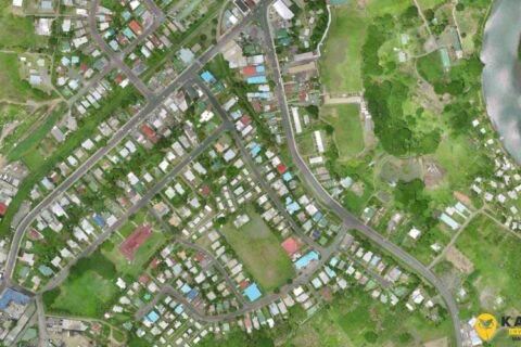
Engineering and Surveying consultants save time and costs using aerial drone to capture aerial topographic surveys
In 2020, Fijian based engineering consultancy SCoPE Pacific Ltd needed an accurate and cost effective solution to capture …